
Hall County is already a regional destination for recreation, with Lake Lanier and a sophisticated system of mountain biking trails, but the community wants to connect more trails and expand transportation options by connecting the trails to more destinations. Alta’s scope of work includes public and stakeholder engagement, data compilation and plan review, a physical assessment, development of preferred and alternative alignments, and an implementation strategy.
The Gainesville trail study focuses on approximately one-mile between the existing Midtown Greenway and Chicopee Trail sections. The trail will traverse a complex urban environment, with residential neighborhoods, a regional airport, railroad crossings, major roads, and the industrial strip that earns Gainesville its moniker as the “Poultry Capital of the World.” It is also a majority-Hispanic area, and the public outreach has focused specifically on how to reach non-English speaking members of the community through local churches and events.
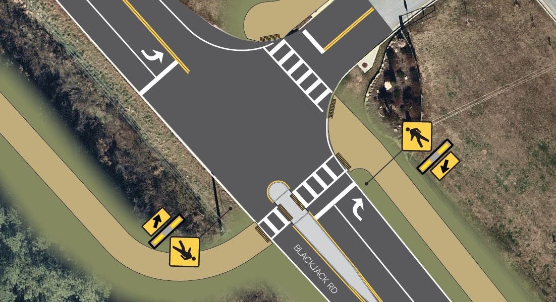
The South Hall trail study focuses on South Hall County including parts of Gainesville, Flowery Branch, and Oakwood. The goal is to create a loop trail by connecting to both ends of the existing Chicopee Trail, and to extend that network toward Oakwood and Flowery Branch. The study highlights solutions to challenges that exist along the alignment, such as an interstate highway, Norfolk-Southern rail, and wetland areas to connect town centers to nearby neighborhoods, schools, retail centers, and parks. During the project, Alta assisted the City of Gainesville with a grant application for a one-mile segment.